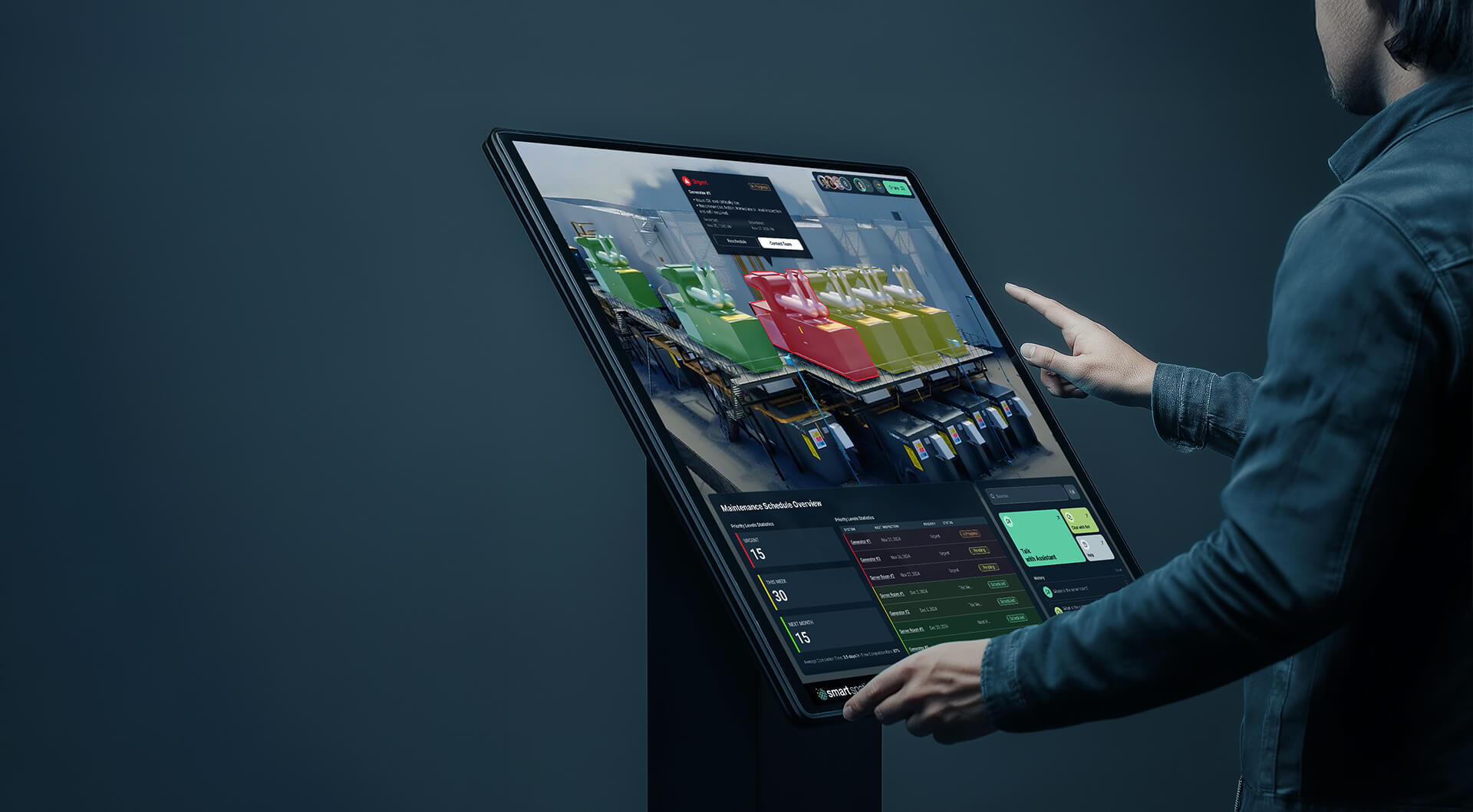
Operational Digital Twins
Transform How You Sell, Operate & Plan
Turn complex infrastructure into interactive 3D experiences that cut operational costs, accelerate decisions, and give your customers instant clarity.
Who We Are
Re-imagining Infrastructure
We are Smart Spatial — pioneers of Operational Digital Twins, combining high-fidelity 3D visualization, live data streams and simulation to bridge the gap between design, construction and operations.
Our mission: Transform buildings and assets into intelligent, connected environments, enabling teams to make smarter decisions, boost efficiency, and drive sustainability throughout the entire lifecycle.
Built on deep expertise in IoT, BIM, real-time telemetry and game-engine visualization, we deploy true digital twins in days — accessible on any device and tailored for operations, training and sales alike.

Our Applications


How It Works
01.
BIM to Twin
In this phase, Smart Spatial Team ingests the BIM Model (REVIT, IFC etc.) of a site and/or equipment, and creates a digital replica of the asset with high fidelity 3D materials.
The asset is placed in a digital world accessible across desktop, mobile and VR with fully interactive navigation such as Fly mode, Walk mode, and one-click navigation to any pre-set views.
Benefits:
The Model is immediately accessible to Sales and Marketing staff to facilitate Virtual Tours, enable true-to life demos, and produce still and video collateral for campaigns. The interactive model can be showcased at trade-shows and events. The model is also useful to the Operations team in reducing on-site vendor visits by facilitating a digital site walk-through, and remote collaboration.
02.
Data Ingestion
In this phase, we identify and integrate the key telemetry and operational systems into the twin environment. Systems can include: BMS, EMS, CMMS, DCIM, FDD/Analytics, Access Control etc.
Benefits:
A synchronized digital twin with data driven geometry enhances operational activities and provides a single source of truth/single pane of glass for multiple operational systems.
The instant availability and multi-device accessibility enables operational excellence on site and in remote (NOC) setting.
The Spatial awareness improves new employee training and ongoing equipment maintenance.
03.
Use Case Applications
In this phase, the team is free to choose various use cases to implement in the virtual environment to extend its usefulness across various business functions. Use cases may include:
Expanding the model to extreme equipment detail down to the nuts and bolts, drastically improving maintenance efficiency.
Adding Flow & Fluid physics enables the model to show air, liquid, and power flows.
Adding custom Training scenarios and walk-throughs.
Adding Simulation to show what-if scenarios, with a “DVR” type capability to go back and forward in time.
Adding 1-click custom views such as show all cable trays, show networking, show all firebreak walls, etc.
Benefits:
With the fundamentals done: (Model and Data), the environment can be infinitely and rapidly enhanced to tackle very specific and unique use cases with minimal effort.

Digital Twins are The Future of Marketing: And Why Your PowerPoint Pitch Is Officially Dead
It’s time to lean into a new reality. The only way to grab the attention that is so hard to claim is to offer an experience.


%201.svg)

